Cold Front will be cutting through the lakes Wednesday Morning. It will be coming through pretty dry. But still can't rule out a few showers with the cold front passing. Temperatures have been pretty cool since Sunday. Northeastly wind flow off the warmer lake huron waters have touched off clouds and at times scattered showers, especially for the eastern areas and the thumb the last couple of days. The North/Northeastly flow behind the cold front Wednesday Afternoon will once agian touch off scattered showers down wind from Lake Huron. Else where will see a partly sunny setting. Highs behind the system will be Upper 60s Thumb/Northern MI, Low to Mid 70s elsewhere. Bonus sunshine will equal temps slightly warmer.
 Cold Front Early Wed AM
 Wed Night/Thu AM Lows
 Thursday Night/Friday AM Lows
 Sunday's Highs pushing 90
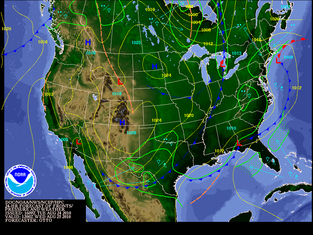 Cold Front Early Wed AM
Wednesday through Friday morning temperature wise looks cool. High pressure will bulid in Thursday making way for a great Thursday with less humidity. But Wednesday Night into Thursday AM and Thursday night into Friday AM look a tad on the chilly side. With lows away from Metro Detroit and the water falling into the 40s. Even some low to mid 40s Thursday Night in the Saginaw Valley points north.
 Wed Night/Thu AM Lows
 Thursday Night/Friday AM Lows
Summer does return by the weekend, highs will infact be apporaching 90 by Sunday. The hot weather will continue into early next week.
 Sunday's Highs pushing 90
No comments:
Post a Comment